Introduction
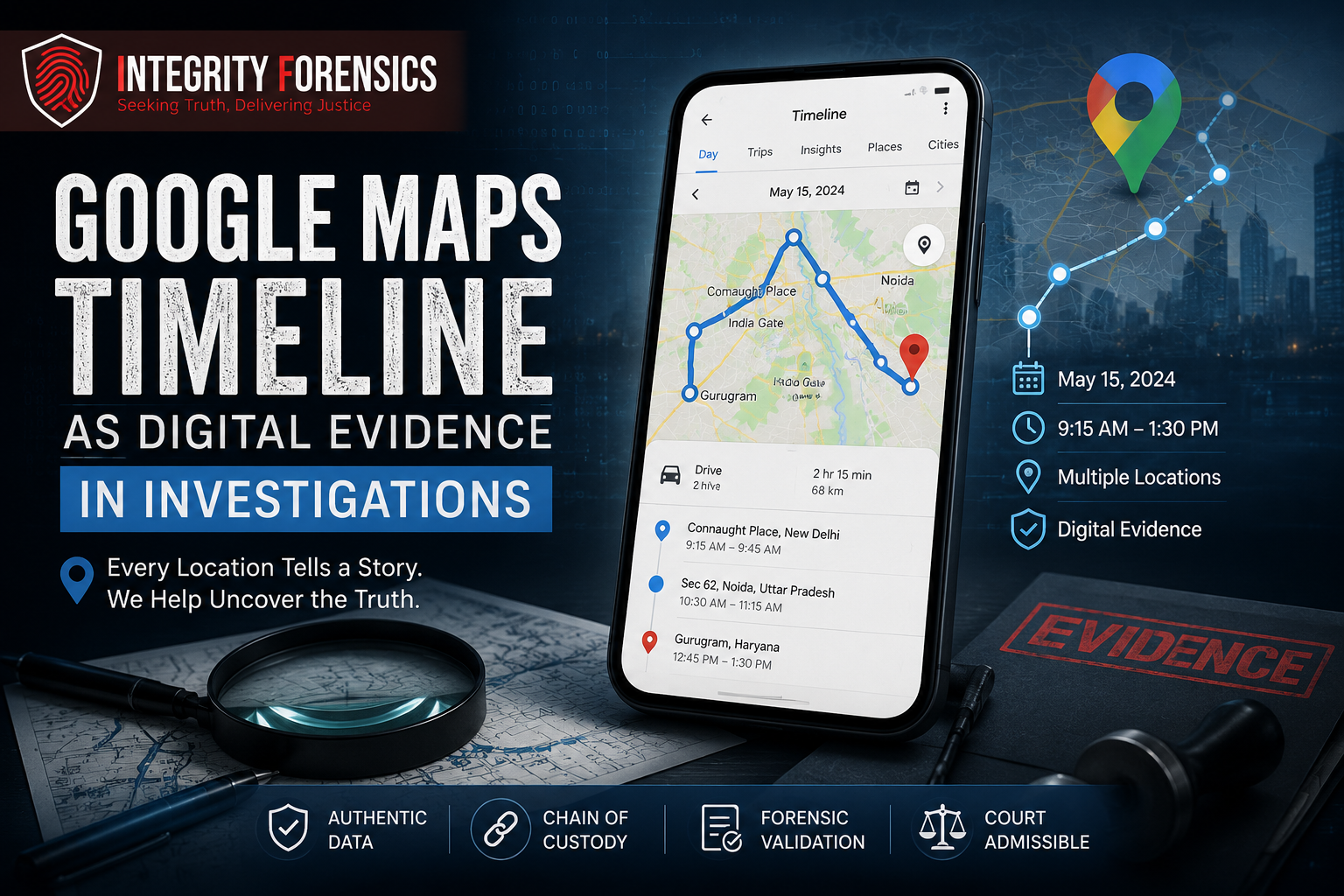
In today’s digital world, smartphones continuously record valuable information about our daily activities. One of the most powerful yet often overlooked sources of digital evidence is Google Maps Timeline. This feature, available on many Android devices and Google accounts, can provide a detailed record of a person’s movements, locations visited, travel routes, and timestamps.
For forensic investigators, Google Maps Timeline can serve as a digital witness that helps establish facts, verify alibis, identify patterns of movement, and reconstruct events. When properly collected and analyzed, this information can play a significant role in both criminal and civil investigations.
What is Google Maps Timeline?
Google Maps Timeline is a feature that stores a user’s location history when location services and location history settings are enabled on a device. It creates a chronological record of places visited, routes traveled, modes of transportation used, and the duration spent at specific locations.
The data is generated through various sources, including:
- GPS signals
- Wi-Fi networks
- Cellular tower connections
- Device location services
- Google account activity
As a result, Google Maps Timeline can provide a detailed picture of an individual’s movements over time.
Why is Google Maps Timeline Valuable as Digital Evidence?
Location data can help investigators answer critical questions during an investigation:
- Was a person present at a particular location?
- What route did they take?
- How long did they remain at a specific place?
- Does the location history support or contradict a statement?
- Can the movement pattern help establish a timeline of events?
By analyzing this information, forensic experts can reconstruct events with greater accuracy and identify inconsistencies in witness statements or suspect accounts.
Applications in Criminal Investigations
Google Maps Timeline has become increasingly useful in criminal investigations where location verification is important.
Verifying Alibis
Investigators can compare a suspect’s claimed whereabouts with location history records. The data may support an alibi or reveal discrepancies that require further investigation.
Reconstructing Crime Timelines
Location history can help establish when an individual arrived at or departed from a specific location. This information can assist investigators in creating accurate timelines of events.
Identifying Connections and Movement Patterns
Repeated visits to certain locations may reveal relationships, meeting points, or movement patterns that could be relevant to an investigation.
Missing Person Investigations
Location history can provide valuable clues regarding the last known movements of a missing individual, helping investigators narrow search areas and identify key locations.
Applications in Civil and Corporate Cases
Google Maps Timeline is not limited to criminal investigations. It can also provide valuable evidence in civil disputes and corporate matters.
Examples include:
- Insurance fraud investigations
- Employee misconduct investigations
- Workplace disputes
- Property-related disputes
- Contractual disagreements
- Vehicle accident investigations
Location data can help verify whether individuals were present at specific places when critical events occurred.
The Importance of Forensic Validation
Although Google Maps Timeline can provide useful information, location data should never be interpreted in isolation. Professional forensic examination is essential to verify authenticity, accuracy, and reliability.
Forensic experts evaluate:
- Data integrity
- Device settings
- Location history configuration
- Time synchronization
- Possible data gaps
- Evidence preservation procedures
This ensures that conclusions are based on verified digital evidence rather than assumptions.
Challenges and Limitations
While Google Maps Timeline is a powerful investigative resource, it is important to recognize its limitations.
Some challenges include:
- Location history may be disabled.
- Data may be incomplete.
- GPS accuracy can vary.
- Devices may not continuously record location information.
- Users can modify certain account settings.
Because of these factors, investigators often corroborate location data with other evidence such as CCTV footage, call records, digital communications, photographs, and witness statements.
Best Practices for Handling Location Evidence
Proper evidence handling is critical when working with digital location data.
Best practices include:
- Preserving original data sources
- Maintaining chain of custody
- Using forensic extraction methods
- Documenting collection procedures
- Correlating findings with additional evidence
- Conducting independent verification
Following these practices helps maintain the integrity and admissibility of digital evidence.
The Future of Location-Based Digital Evidence
As smartphones, wearable devices, and connected technologies continue to evolve, location-based evidence will play an increasingly important role in investigations. Digital footprints generated by everyday devices can provide investigators with valuable insights that were previously unavailable.
Google Maps Timeline represents just one example of how modern technology can assist forensic professionals in uncovering facts, reconstructing events, and supporting evidence-based conclusions.
Conclusion
Google Maps Timeline has emerged as a valuable source of digital evidence in modern investigations. By providing detailed records of movements, locations, and travel patterns, it can help forensic experts verify claims, reconstruct timelines, and uncover critical facts.
However, location data must be collected, preserved, and analyzed using proper forensic methodologies to ensure accuracy and reliability. When combined with other forms of evidence, Google Maps Timeline can become a powerful tool in both criminal and civil investigations, helping investigators move closer to the truth.

